Map Collection
|
|
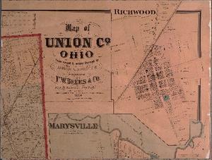
The Union County Records Center and Archives provides access to a number of historical maps online. The maps are taken from a variety of County offices and departments including the Union County Auditor, Engineer, Recorder, and Soil and Water Conservation District along with maps from other sources that are no longer copyright protected. These maps are provided to the public for research and educational use. Microsoft Edge users, please note, that the maps in this collection will not download as focused or be able to be zoomed in on as clearly as in other web browsers. |
| Historical Map Collection | Years |
| Atlases and County Plat Maps | 1849-1928 |
| County Highway Maps | 1916-2017 |
| Ditch Maps | 1870-1993 |
| Election Ward & Precinct Maps | 1953-2011 |
| Flood Insurance Rate Maps | 1991-1991 |
| Plat (Tax) Maps | 1846-1994 |
| Railroad Valuation Maps | 1918-1932 |
| Road Maps | 1849-1940 |
| Sanborn Fire Insurance Maps | 1885-1946 |
| School District Maps | 1904-1909 |
| Veterans Grave Maps | 1775-1939 |
| Village Subdivision Maps | 1816-2020 |
| Virginia Military Survey (VMS) Maps | 1797-1848 |
| Watershed Maps | 1879-1955 |

